Regions and Tracks
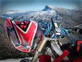


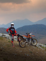
Mount Ziria is around 150km away from Athens. Its is one the beautiful mountains in north Peloponnese overlooking Korinthiakos gulf. It is named after the Slavic word “Ziri” which means “acorn”.
Ziria is one of the few mountains in Greece having more than five summits higher than 2,000m. The highest Ziria peak is Psili Korfi at an altitude of 2,374m.
Before reaching the five summits complex, you will go through a large plateau. In winter large quantities of water are collected there, which then flow towards Mesea (middle) Trikala and Mikro Kefalari. Also, there is a magnificent valley, named Flabourista, with numerous water streams.
Ziria’s plateau and Flabouritsa valley have been announced as “NATURA 2000” areas.
Around Ziria there are a number of villages, as Trikala (three townships) at north, Karia, Goura at west side with a unique view towards Feneos valley and Mount Chelmos, while south is Kilini village.
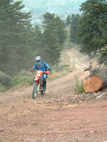
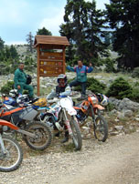
We propose a main enduro track traversing the perimeter of Ziria top (TRACK01). Also there are two more optional tracks, both starting from Ziria top, driving down to Goura (TR2GOURA) and Kilini (TR2KILINI).
