Regions and Tracks
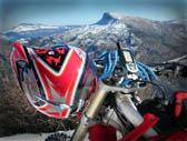



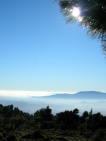

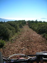
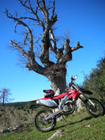
Mt Parnitha is one of the mountains surrounding the city of Athens. It is the highest one, extending over a wide area in the north side of the city, at an approx. direct distance of 22km. (city center to Parnitha highest peak). It is having a variable topography with several summits, gorges, streams and plateaus.
In 1961 the entire mountain (approx. 25,000 hectares) has been included in NATURA 2000 network and has been declared a special area for the protection of birds (SPA), as well as a landscape of particular natural beauty (25638/1269 decision of the Ministry of Agriculture). The core zone of the Park comprises the Parnitha peaks, an area of 3,800 hectares with the 90% covered with fir forest (Abies cephalonica). Around the Parnitha core lies the peripheral zone, including the rest of the mountain, covered with pinus forest (Pinus halepensis).
The variable topography is the most interesting characteristic of Parnitha. Long ridges extending from east to west form 16 summits with altitude above 1,000 m, Karavola summit being the highest at 1,413 m alt.
There are three major areas of Parnitha top, covered in the attached GPS tracks:
