Regions and Tracks
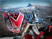


Mount Kandili is located in the middle of North Evia from the mainland Greece side. North bound is just below the Limni Evias township (municipality Elimnion), followed by the municipality Kireos and ending up at the north boundaries of Messapion municipality. The mountain range has successive peaks, such as Bardakos with 664 meters altitude, Pefkeli to 887 meters above sea level and the highest Strougitsa to 1,236 meters altitude. South approaching the Daphne, where was our base, there are peaks Kourvelo to 1,224 meters altitude, Roupakia to 1,207 meters altitude, Pyrgaki with 1,081 meters altitude. Also north of Agios village are the peaks Kedros at 687 meters altitude and Proteri to 764 meters altitude. Then close to Neos Pagontas village you will find the Arkouda peak with 639 meters altitude and Tsoumperli with 550 meters altitude. Further north are the peaks Gerakofolia to 837 meters altitude, Livadorachi to 581 meters altitude and Lytsitsa to 477 meters altitude. From the Agios towards Nerotrivia are the peaks Elati with 868 meters and Aetos with 802 meters altitude.
Mountain Kandili has a dense and extensive pine forest, however the mountain itself is mostly rocky. It coniferous forests, in indigenous plants you will see several birds of prey.
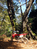
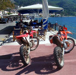
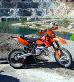
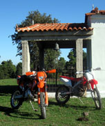
Our Enduro track gets through a number of isolated dirt roads, with plenty of stones and hard grooved from running water streams in the winter. Finally, as a reward, reaching the beautiful Limni by the sea, you may enjoy a coffee stop on the village pier. On our way back we used alternative forest tracks, but also made use of the main road (Chalkida Prokopi) to prevent recurrence of the first track.
