Regions and Tracks



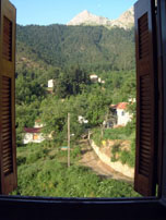
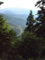
Vardousia (a.k.a. Korakas) is a cluster of mountains that includes the southern edge of the Pindus in Central Greece. It is the natural border of Fokida and Fthiotida counties. Vardousia is the second highest mountain in Roumeli region, next to Giona, with summit Korakas reaching the 2,495m altitude.
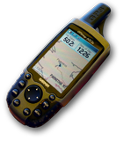
Mount Vardousia consist of three groups of peaks; north, west and south. The north has smooth peaks, the west is very steep with independent peaks while the south is the highest, forming a steep and very long ridge. Vardousia is one of the few mountains in Greece with a strong alpine landscape. The range of mountains is defined by rivers Mornos, Evinos and Kokkinopotamos, having rich flora. Much of the area is covered by forests of pine, oak and cedar. In the extensive highlands formed between the peaks, graze large herds of sheep and goats. In Skorda there are two mountain huts, which we have marked with GPS waypoints in the digital data provided as attachment in this page.
Vardousia peaks, in desecnding order of altitude, are:
Most common ascent in the shelters and peaks are from the village of Athanassios Diakos (a.k.a. Mousounitsa). Some of the western peaks are accessible from Artotina.
Our proposed track is crossing Vardousia, from Athanasios Diakos village to Artotina, with much of the track overlapping with E4.
