Regions and Tracks


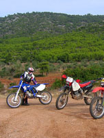
Mount Gerania and Pateras are quite accessible mountains, in a proximity to Athens city. A large extend of the slopes is covered by pine trees. A network of dirt-forest roads is spreading everywhere, with the exception of few steep slopes.
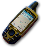
Our enduro track, as attached in GPS digital data in this page, is starting from Inoi, on the old National Road. After a complete 360° clockwise circle, it returns back to the starting point, allowing loading the bikes back on the trailers, left there in the morning.
The proposed tracks are:
Should you are seeking some shortcuts, then look at optional tracks TRACK02A, TRACK03B, which will allow you to skip the Korinthiakos seaside road drive, by shortcutting through the pine forest.
Enjoy!