Regions and Tracks




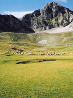
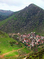
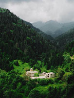
Here we have to propose a track which is traversing the north west part of the “Aspropotamos” region in Trikala prefecture. This is a blessed place where Pindos sierra is extending its beauty south wise with Peristeri (a.k.a. Lakmos) mountain, and Acheloos river is formed by numerous smaller streams (Aspro, Valia Saka, Kopraou, etc.) joining their waters.
We may choose our base to be Anilio village, next to Metsovo. Alternatively we may stay right in the core of our proposed region, in village Chaliki, located in the east slopes of Peristeri.
In any case, our ultimate destination is the lake Verliga, on the plateau of Mount Peristeri at 2,000m, almost 1km south of Tsoukarela summit of Peristeri.
Should you decide to go for it, consider extending your visit to the rest of Aspropotamos region and its villages. It will worth every bit of your time!
