Regions and Tracks
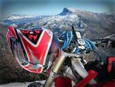



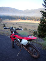
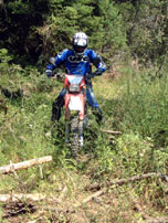

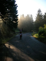
Menalo is located in the center of Peloponnese peninsula, covering almost all northern territory of Arcadia prefecture. It is surrounded, east from mounts Oligirtos, Trachi, Lirkio and Artemisio north from Aroania and Erimanthos, west from Minthi and Likaeo, and south from Taygetos and Parnonas.
The highest summits of Menalo are:
From Menalo stem two tributaries of Alpheus. One is Lucius, who comes from the northwest of the mountain near the village Karkalou and creates a famous gorge. The other is Elissonas who comes from the central part of the mountain between the villages of Piana and Alonistena, joining Alfios near Megalopolis.
The mountainous villages of Menalo are Magouliana (1.270m) and Alonistena (1.220m). Also there are some of the historic villages of Greece, after the villages of Menalo pioneered the revolution of 1821. Among them are Dimitsana, Stemnitsa, Lagadia the Libovisi (Kolokotronis origin) and Piana.
Menalo firry is mainly in the northwest side, around the villages Vitina, Alonistena and Chrysovitsi. On the east side the vegetation is poorer and the south side is dominated by pine and cypress.
A weekend in Menalo is more than enough to experience the proposed tracks. The one on the east side, the high mountain with the Ski Center and the refuges on the top. The other on the west side, a quite expanded territory, up to Dimitsana and Lousios river.
Before you load your GPS and jump on your bike, have a look in the more than 100 photos (Web Gallery) we share with you, in this site.
We will make your day!
