Regions and Tracks


 George Petropoulakis")
 George Petropoulakis")


This is the first part of a trilogy. It is about three distinct long distance tracks traversing West Greece from East Zagori down to Kremaston Lake next to Karpenisi, Evritania.
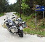
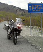
To reach the first part we departed from Athens, and via Kalambaka, reached Metsovo, which is the starting point of this track.
From Metsovo we started our ascending to Pindos mt., prepared to complete a full counterclockwise circle.
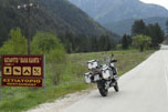
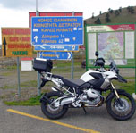
We enjoyed the Aoos lake view and targeted Vovousa village. Before Vovousa we paused for a while at the refuge, which is on the west side of the main road.
Wikipedia cites:
Vovousa located on the river Aoos and is one of the easternmost villages of Zagori. It is also located near the National Park of Valia Kalda. The single-arched stone bridge of Misios was built in 1748 with a donation by Alexis Mitsios from Vitsa.
Vovousa is a village and a former community in the Ioannina regional unit, Epirus, Greece. Since the 2011 local government reform it is part of the municipality Zagori, of which it is a municipal unit. It is one of the original Zagori villages. Population 179 (2001). The name possibly derives from "Voiousa" or "Vovousa" (alternative names for the Aoos river) related to the Greek word "vous" for "bull".
Next to Vovousa we crossed the Perivoli village and reached the peak at the Vasilitsa Ski resort, which is at 12:00 of our circle. From there we stopped at Tsepelovo for lunch and then return back to the Egnatia highway junction.
Next part is the Tzoumerka track.